
Understanding Why GNSS Accuracy Matters
Position accuracy affects everything from fleet routing and construction layout to autonomous-vehicle guidance and emergency-response dispatch. Traditional GNSS (Global Navigation Satellite System) receivers typically offer 3–10 metre accuracy—good enough for consumer navigation, but inadequate for the precision demands of today’s smart-infrastructure and public-safety systems.
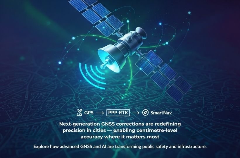
PPP-RTK: The Quiet GPS Upgrade
Precise Point Positioning with Real-Time Kinematic (PPP-RTK) merges satellite-based corrections with dense ground-reference networks to achieve centimetre-grade accuracy almost anywhere.
Compared with classic RTK, which requires proximity to local base stations, PPP-RTK can deliver fast, scalable accuracy across regions and even continents.
This makes it ideal for utilities, critical-infrastructure inspection, and coordinated field operations where reliability is paramount.
SmartNav and AI-Enabled Urban Positioning
Emerging SmartNav systems combine GNSS corrections with 3-D city models, LiDAR maps, and computer-vision inputs to maintain accuracy where satellite signals degrade—such as dense downtown corridors or under overpasses.
By fusing AI, machine learning, and sensor data, SmartNav engines continually correct positioning in real time, ensuring safer autonomous movement and more reliable asset tracking in complex environments.
Why It Matters
- Public Safety: Enables precise routing and faster incident response for Next Gen 911 systems.
- Construction & Utilities: Improves equipment guidance, reduces re-work, and enhances worker safety.
- Asset Management: Supports digital-twin integration and predictive maintenance.
- Urban Planning: Provides the geospatial backbone for smart-city design and sustainable infrastructure growth.
Looking Ahead
GNSS enhancements, combined with AI-driven analytics, are transforming how organizations monitor and manage assets. As positioning technologies mature, integration with cloud platforms and real-time data layers will create fully connected operational environments—linking physical assets, digital twins, and field teams with unprecedented precision.